
A tour of my running path
I brought my camera on my run today.
This is probably boring to most (or all) of you, but I run this route pretty often, and so I thought I'd "photo-document" it for once.
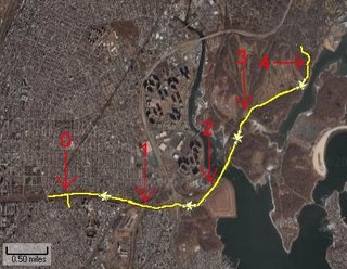
I'm including a map, just to orient the following pictures. I ran a little extra in the beginning so that I'd end up with 9 miles total. The red mile markers are starting from a bus stop 5 minutes from my house, where I often start from.

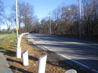
mile 0: Pelham Parkway
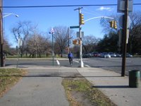
mile 0.4: the stop light where I often get stuck

mile 0.5: more Pelham Parkway
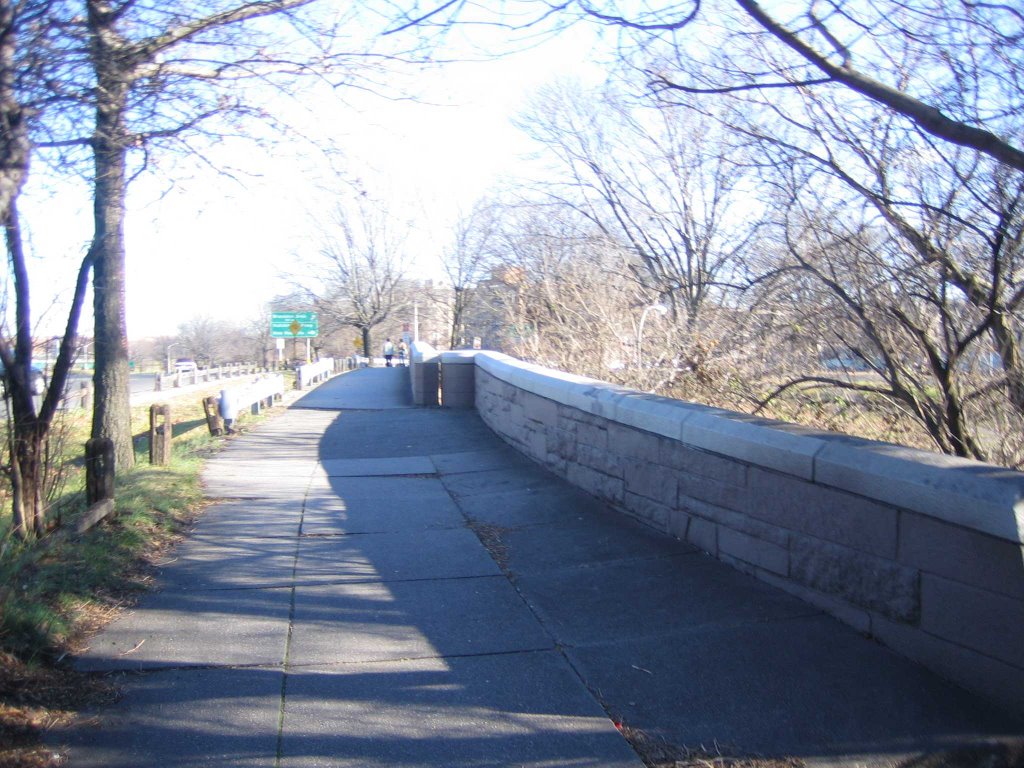
mile 1: going over the highway


mile 1: Hutchinson River Parkway
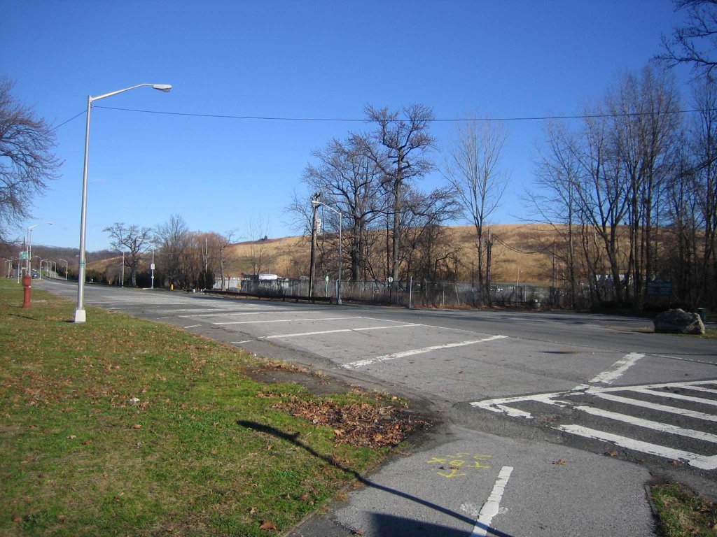
mile 1.3: going under the I-95
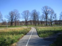

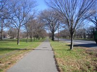
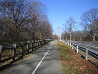
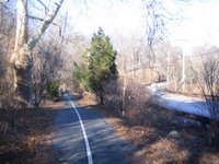
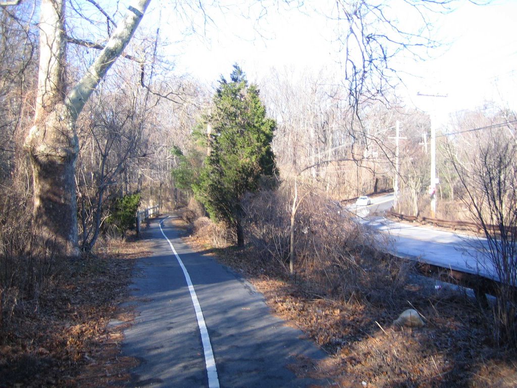
mile 1.4: bike path
mile 1.6


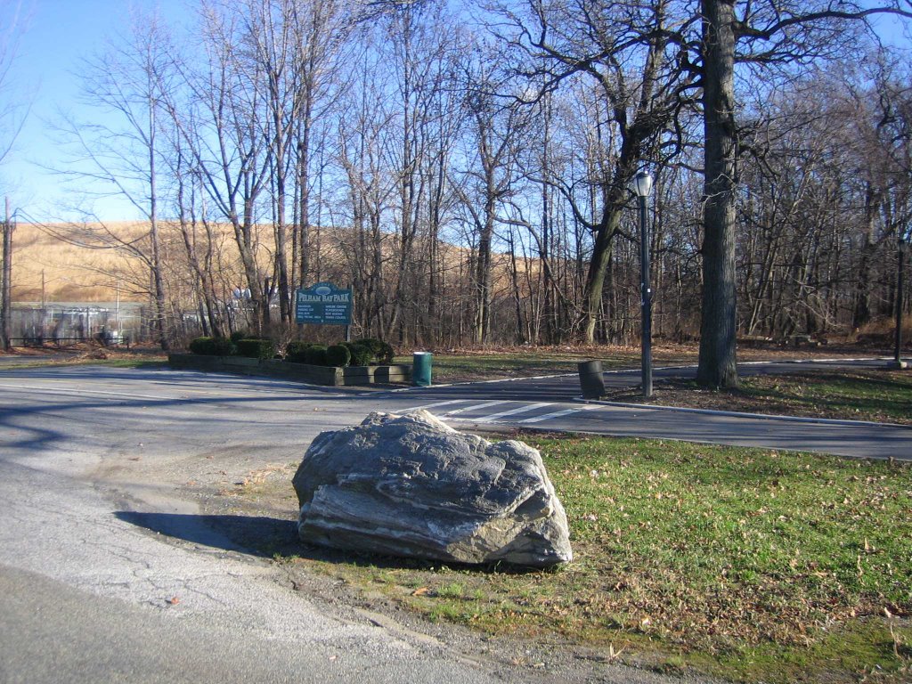
mile 1.65: the rock at the edge of Pelham Bay Park
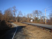
mile 1.7: heading up to Shore Road
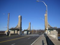
mile 2.1: drawbridge on Shore Road
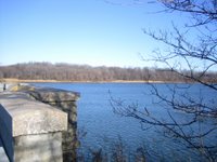
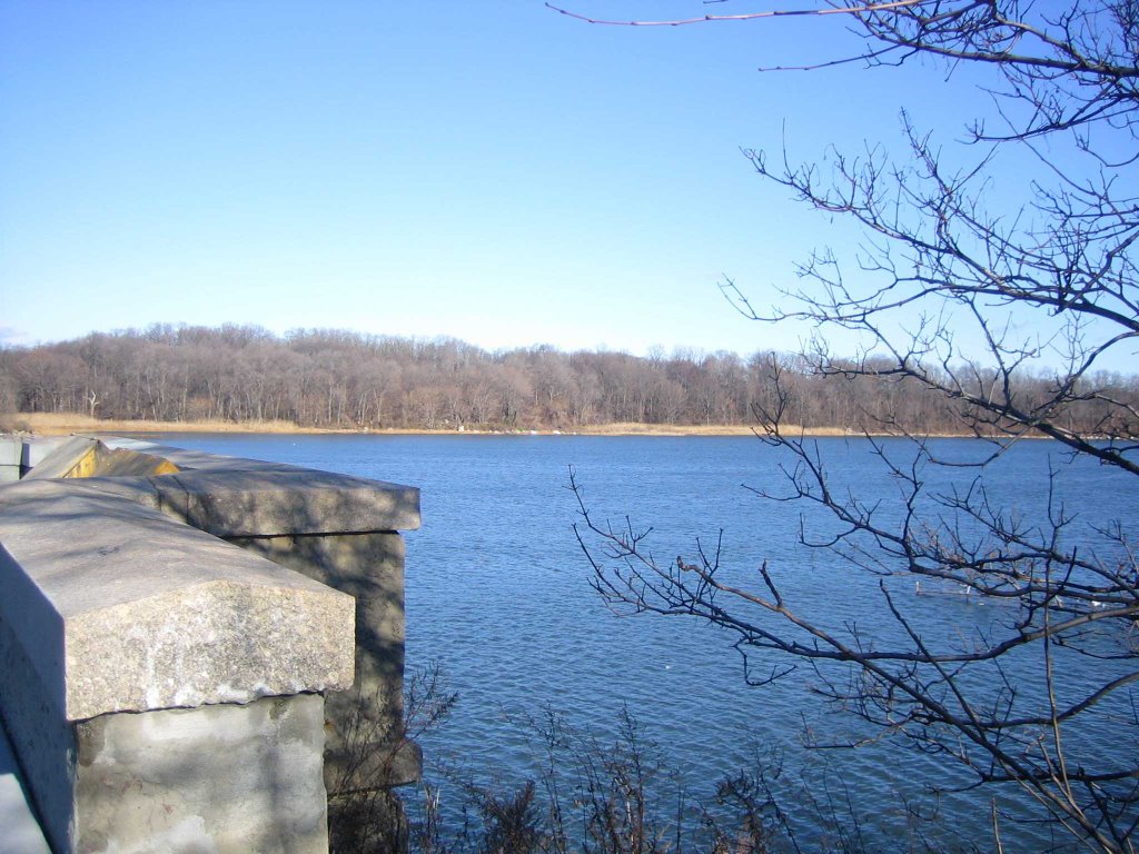
view from bridge
another view from bridge
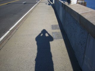
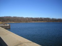
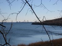
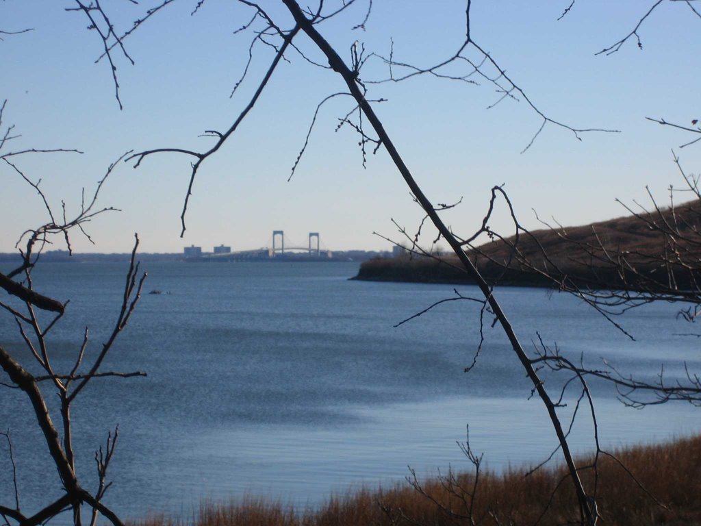
I really like this shot. Throgs Neck Bridge in the distance.
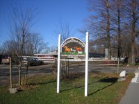
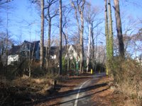
mile 2.4: The Bronx Equestrian Center
mile 2.5: path continued. (horsepath to left)
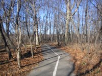
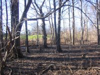
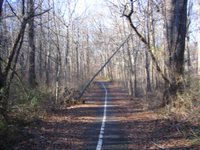
mile 2.8: short trip through "forest"
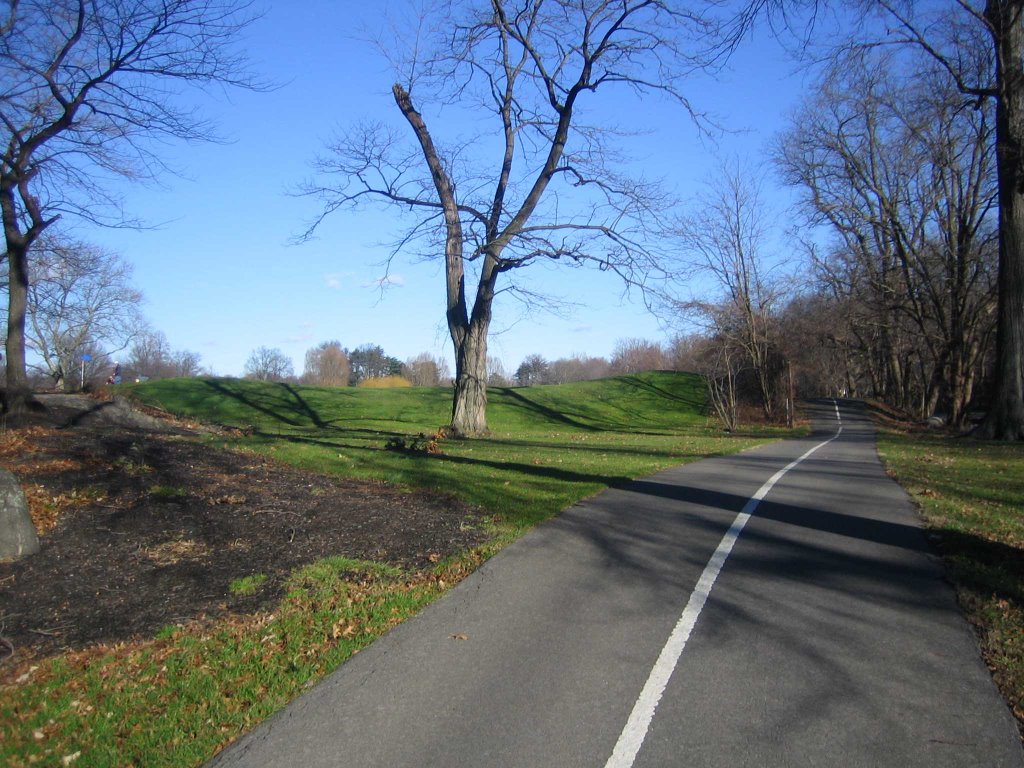
mile 3: edge of Pelham Split Rock golf course

mile 3.1: more golf course
mile 3.4: golf course in distance
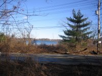
mile 3.8: beyond golf course
water on opposite side is part of Long Island Sound
mile 4: path veers away from highway
mile 4.1: a little more "forest"
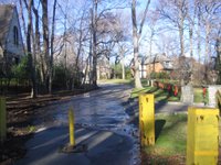
mile 4.2: almost at the end
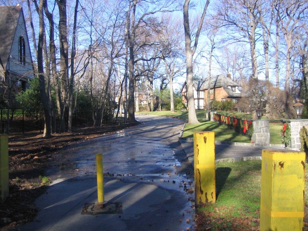
mile 4.25: Park Lane in Pelham Manor (Westchester County)
... and then of course I have to run back!

This is probably boring to most (or all) of you, but I run this route pretty often, and so I thought I'd "photo-document" it for once.

I'm including a map, just to orient the following pictures. I ran a little extra in the beginning so that I'd end up with 9 miles total. The red mile markers are starting from a bus stop 5 minutes from my house, where I often start from.


mile 0: Pelham Parkway
mile 0.4: the stop light where I often get stuck

mile 0.5: more Pelham Parkway
mile 1: going over the highway


mile 1: Hutchinson River Parkway
mile 1.3: going under the I-95

mile 1.4: bike path
mile 1.6

mile 1.65: the rock at the edge of Pelham Bay Park
mile 1.7: heading up to Shore Road

mile 2.1: drawbridge on Shore Road
view from bridge

another view from bridge
I really like this shot. Throgs Neck Bridge in the distance.


mile 2.4: The Bronx Equestrian Center
mile 2.5: path continued. (horsepath to left)


mile 2.8: short trip through "forest"
mile 3: edge of Pelham Split Rock golf course

mile 3.1: more golf course
mile 3.4: golf course in distance


mile 3.8: beyond golf course
water on opposite side is part of Long Island Sound

mile 4: path veers away from highway
mile 4.1: a little more "forest"

mile 4.2: almost at the end
mile 4.25: Park Lane in Pelham Manor (Westchester County)
... and then of course I have to run back!
posted by Danny on Sunday, December 24, 2006
![]()
![]()


4 Comments:
It's pretty!
these are some beautiful photos. good to see you back running!
What a great running path. And I've thought all along that you were running the streets of Manhattan.
cool pictures. it looks like Fall there vs. winter. i also pictured you running through the streets of manhattan and central park etc. all the time!
Post a Comment
<< Home